

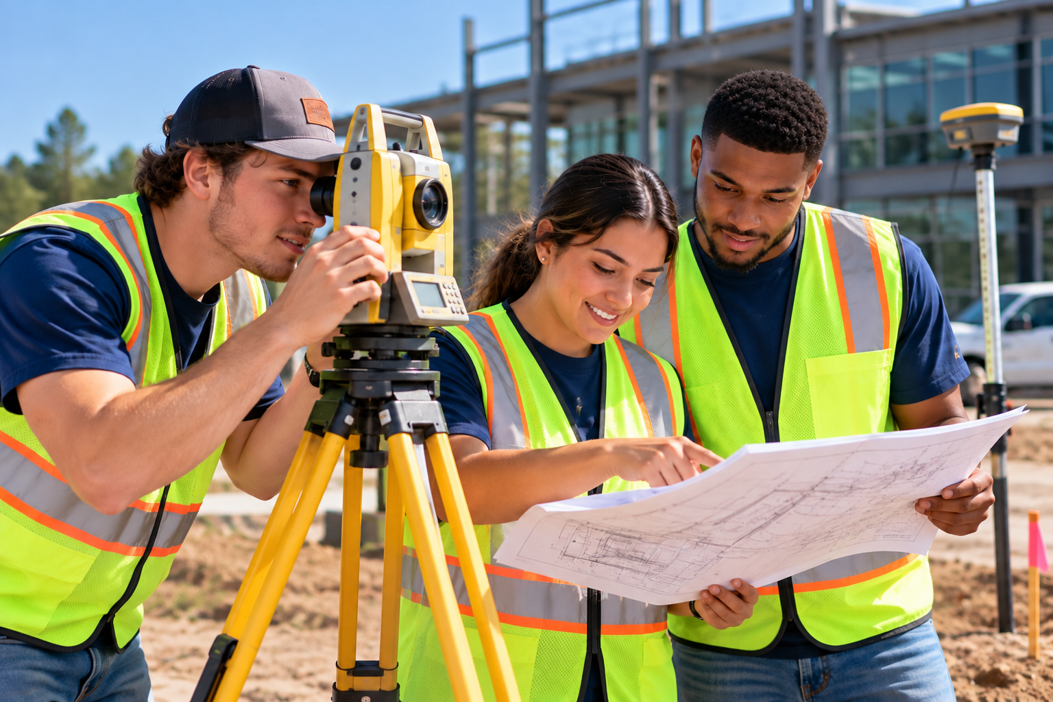
The modern world is built on precise data. Before a single highway, bridge, port expansion, or housing development can break ground, a surveying field technician must map the land. Savannah Tech’s Surveying Field Technician certificate takes you out of the traditional classroom and into the field. You will master high-tech geospatial equipment to collect data, mark boundaries, and establish engineering baselines for major construction projects.

Programs
**Denotes a competitive admission program. Please view the catalog for details.
Purpose Statement
The modern world is built on precise data. Before a single highway, bridge, port expansion, or housing development can break ground, a surveying field technician must map the land. Savannah Tech’s Surveying Field Technician certificate takes you out of the traditional classroom and into the field. You will master high-tech geospatial equipment to collect data, mark boundaries, and establish engineering baselines for major construction projects.
To get started contact:
Rachel Daly
Department Head for Architectural & Engineering Drawing Technology


Programs
*Denotes Title IV eligible program (PELL).
**Denotes a competitive admission program. Please view the catalog for details.
Top Careers:
- Mechanical CAD Operator
- Engineer Technician
- Land Surveying Field Technician
Locations:
- Savannah Campus
- Online


